AEC (Architecture Engineering Construction)
Elevate your engineering projects with detailed visual communication and documentation.

Designing and planning projects
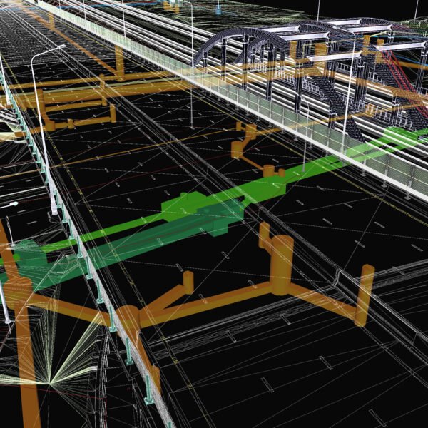
Understanding the condition of a site is paramount to planning, design, construction, and maintenance. We can help you with this by providing detailed imagery and 3D models. This can assist in the planning and execution of construction projects, including construction of buildings, pipelines, roads, water, power, and other infrastructure.
- Pre-construction, period and post-construction photographic documentation of conditions for insurance and liability purposes.
- 360 site tours to remotely understand the project and surrounding areas.
- 3D scans using photos or LiDAR
- Assess the practical and aesthetic impact of the project on the surrounding neighborhood.
- Facilitate easy data export to GIS or CAD programs for further analysis and integration.
Tracking progress and maintenance
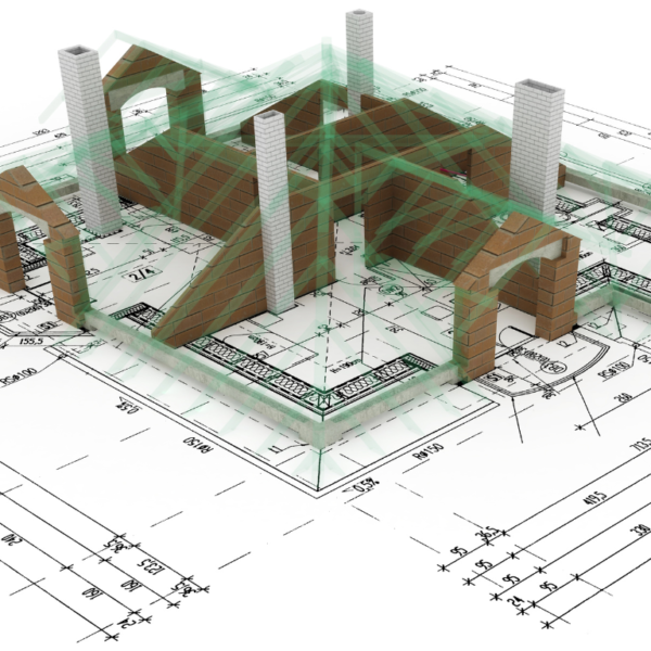
Monitor building progress by comparing digital twins to the intended architecture. Use comprehensive 3D models to conduct extensive inspections and maintenance operations.
- Receive frequent updates on your site’s progress with both 2D images and 3D digital twins.
- Visualize, measure, and monitor changes from a distance throughout all project phases.
- Detect errors early by comparing the as-built with the as-designed, thus minimizing expensive rework.
- Prevent schedule delays and logistical challenges through proactive monitoring and adjustment.


Plan execution and Job site documentation
- Create a chronologically organized digital project record to ensure full documentations historical data to resolve and avoid disputes by evaluating previous incidents.
- Enhance project insights by including more material in communications on your team.
- Simplify subcontractor work verification and invoicing processes to ensure timely invoicing, and detect fraud.
Increase productivity with streamlined construction planning, and monitor progress effectively.
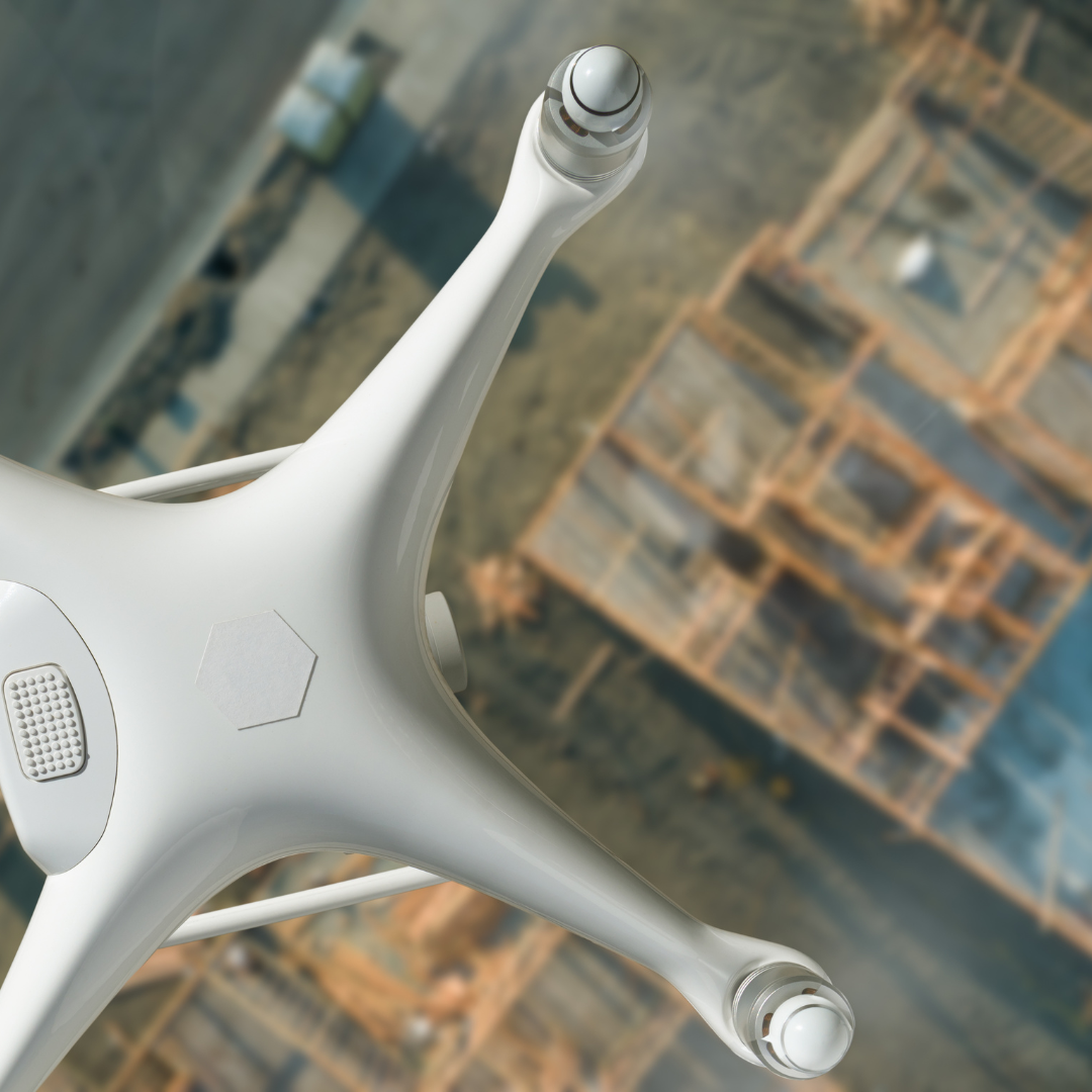
Utilize ground and aerial imagery to 3D map, analyze, and report project progress effortlessly.
