Bringing Real Life
Into 3D Digital Twins
|
We help companies integrate imagery, 360’s, and 3D scanning into actionable business intelligence.
Empowering Innovation, Transforming Realities
We help organizations incorporate Digital Twins, 3D scans, Aerial Imaging, Reality Capture and GIS maps to drive value, efficiency and safety, and experience real life in new ways through AR/VR.
HOW IT WORKS
Easy Steps
Our approach integrates aircraft, drones and sophisticated 3D software to provide thorough and precise assessments of your site’s condition.
Collect data
Aerial images or scan data is collected either from the air or from the ground, from various angles and elevations, which can provide as much detail, or as large of an area as you need to cover.
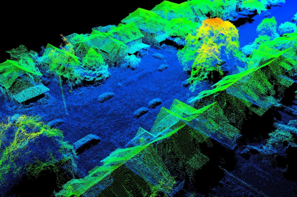
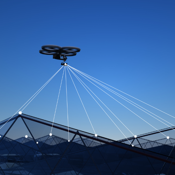
Data processing using advanced 3D modeling software
We process imagery (RGB, thermal, 360, multispectral, etc.) to generate a digital reconstructions of your target area, and produce deliverables such as orthophotos, Digital Elevation Maps, 3D models, 360 images, and more depending on your needs..
Provide comprehensive report
We will create the deliverables you need, and provide a report showing the details of the image, scan, or 3D mapping data collection, processing and result. We can work together with your inspectors, engineers, surveyors to provide the data you need, and make any additional annotations, or edits.
Why Choose us?
- Expertise and Experience: Our team consists of seasoned professionals with years of experience in commercial and inspection photography and videography.
- Cutting-Edge Technology: We utilize the latest in camera and drone technology to provide high-quality, innovative solutions.
- Customized Solutions: We understand that each client has unique needs. Our services are tailored to meet your specific requirements, ensuring satisfaction.
- Comprehensive Coverage: From aerial imaging to immersive 360 tours, we offer a full range of services to cover all your commercial and inspection photography needs.
- Safety and Compliance: We prioritize safety and comply with all local and federal regulations governing drone and aerial photography, ensuring that our operations are conducted responsibly.
We Serve the following areas:
California:
- Alameda
- Berkeley
- Concord
- El Cerrito
- El Sobrante
- Hayward
- Hercules
- Livermore
- Oakland
- Pinole
- Pleasanton
- Richmond
- San Bruno
- San Carlos
- San Leandro
- San Lorenzo
- San Francisco
- San Mateo
- San Pablo
- San Rafael
- San Ramon
- Sausalito
- South San Francisco
- Redwood City
- Walnut Creek
- Tracy
- Tiburon
- Vallejo
- and more